2.1 Location
Goods Island marks the western entrance to the Prince of Wales Passage and the Normanby Sound in the Torres Strait, and forms part of the Thursday Island Group. The Island is approximately two kilometres in length and is uninhabited.
Goods Island Lighthouse is situated on a high point (Western Hill) on the western side of Goods Island. The island is located within the local government area of the Torres Shire Council.
Goods Island is also known by its Indigenous name, Palilag.
Lighthouse coordinates: 10° 33.9070'S, 142° 09.1290'E
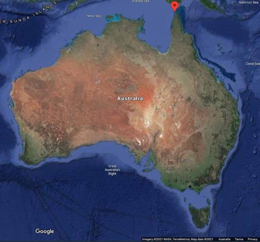 Figure 3. Location of Goods Island Lighthouse along Australian coastline (Map Data @2021 Google, NASA, TerraMetrics)
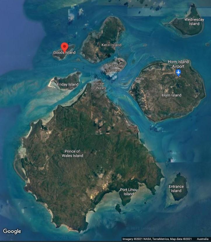 Figure 4. Location of Goods Island Lighthouse in the Torres Strait (Map Data @2021 Google, NASA, TerraMetrics)
2.2 Setting and landscape
Goods Island is considered part of the Inner/Western Torres Strait island group, and these islands were formed on acidic volcanic and plutonic basement. The terrain of the island is rocky with steep hills. The lighthouse is located adjacent to and on top of a rocky outcrop and the land drops away on all sides, limiting development around the lighthouse and within its main path of light to the Arafura Sea.
The topography of the island is such that the lighthouse is a visually prominent feature within the broader landscape.
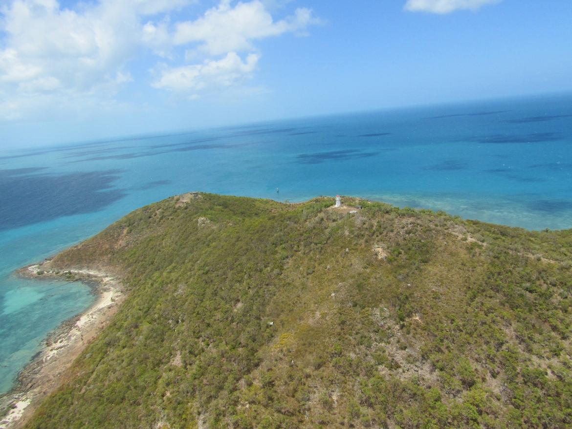 Figure 5. View of Goods Island Lighthouse (© AMSA, 2020)
Fauna and flora
Goods Island shares similar ecosystems with the larger islands of Prince of Wales (Muralug) and Horn (Ngurapai). These islands generally support bush and scrub flora on well-drained slopes. Goods Island’s rocky hills are characteristic of this, and the island’s surface is covered with low-lying vegetation. The invasive floral species, Snake Weed (Stachytarpheta jamaicensis), has previously been recorded on the island.5
2.3 Lease and ownership
AMSA leases the lighthouse from the Department of Natural Resources, Mines, and Energy (QLD), the state body responsible for Goods Island. The AMSA lease, signed on 1 July 2000, consists of two parcels of land:
- Lot 2 CP890154: 528 metres-squared
- Lot 3 CP890154: 52 meters-squared
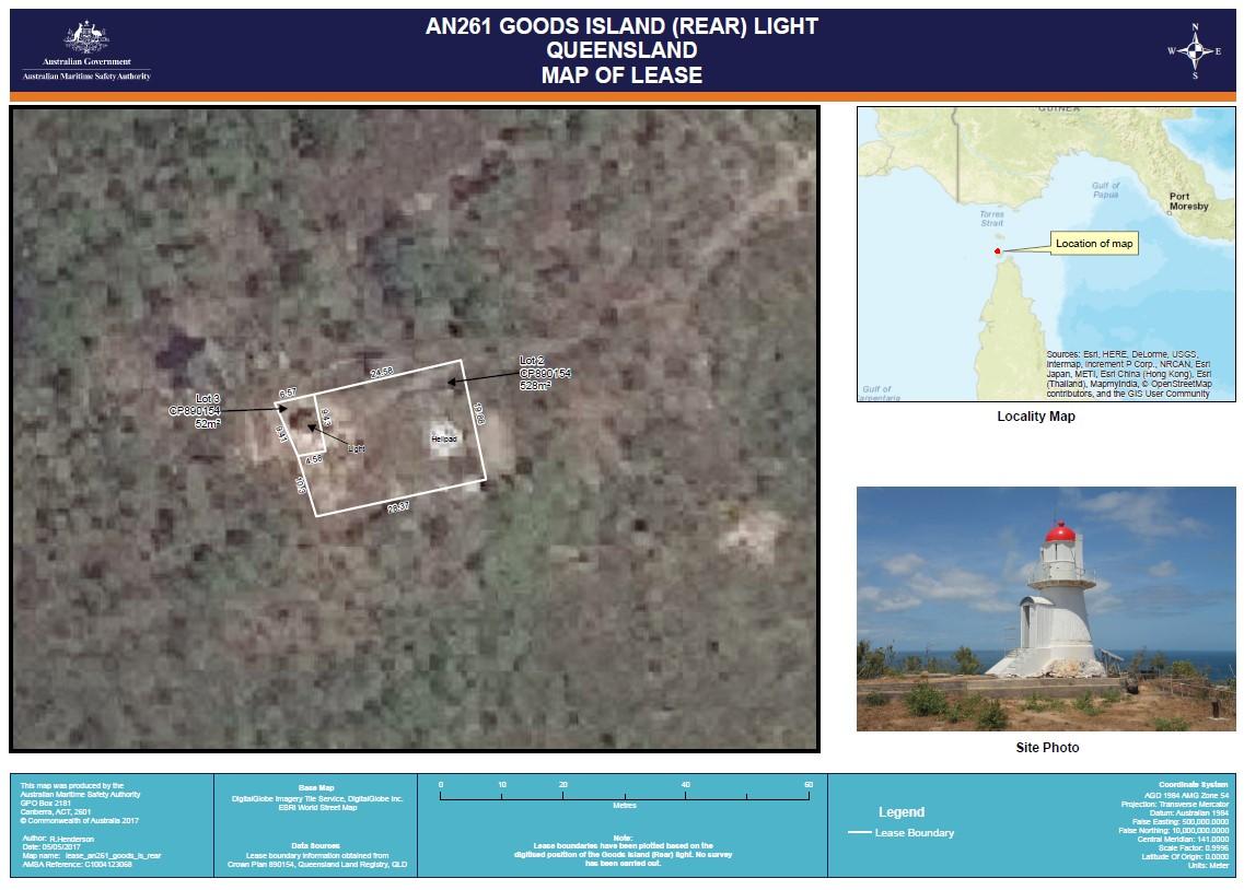 Figure 6. Map of AMSA lease, Goods Island (Map data: DigitalGlobe Imagery Tile Service, DigitalGlobe Inc. ESRI World Street Map)
2.4 Access
Goods Island Lighthouse can be accessed via helicopter or vessel. A helipad is located beside the tower, and a path leads through the vegetation to a vessel landing area. Access inside the lighthouse is restricted to authorised personnel only.
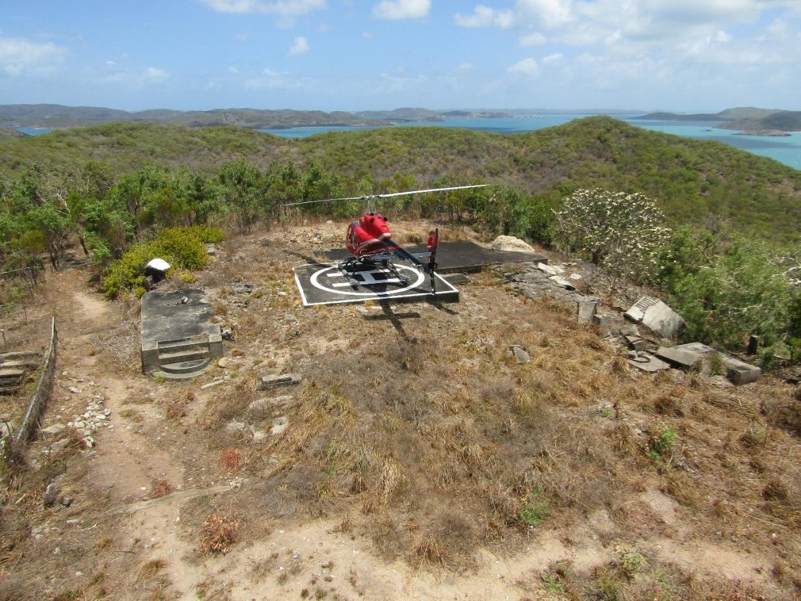 Figure 7. Helicopter access at Goods Island Lighthouse site (© AMSA, 2020)
2.5 Listings
Goods Island Lighthouse is listed on the following heritage registers:
| List | ID |
| Commonwealth Heritage List | 1054586 |
| Register of the National Estate | 1015187 |
Footnotes
5 D. J. Stanton, D. G. Fell and D. O. Gooding, Vegetation Communities and Regional Ecosystems of the Torres Strait Island, Queensland Australia: An accompaniment to Land Zone, Vegetation Community and Regional Ecosystem Maps (Torres Strait Regional Authority Land and Sea Management Unit, 2008), 180
6 “Goods Island Lighthouse, Thursday Island Town, QLD, Australia,” Australian Heritage Database
7 “Goods Island Lighthouse, Thursday Island Town, QLD, Australia,” Australian Heritage Database