2.1 Location
Situated on Mersey Bluff, the Mersey Bluff Lighthouse is located at 39 Bluff Access Road, Devonport, Tasmania. The lighthouse is approximately 2 km north of the township of Devonport and overlooks Bass Strait.
Coordinates: 41° 09.5269’ S, 146° 21.3317’ E
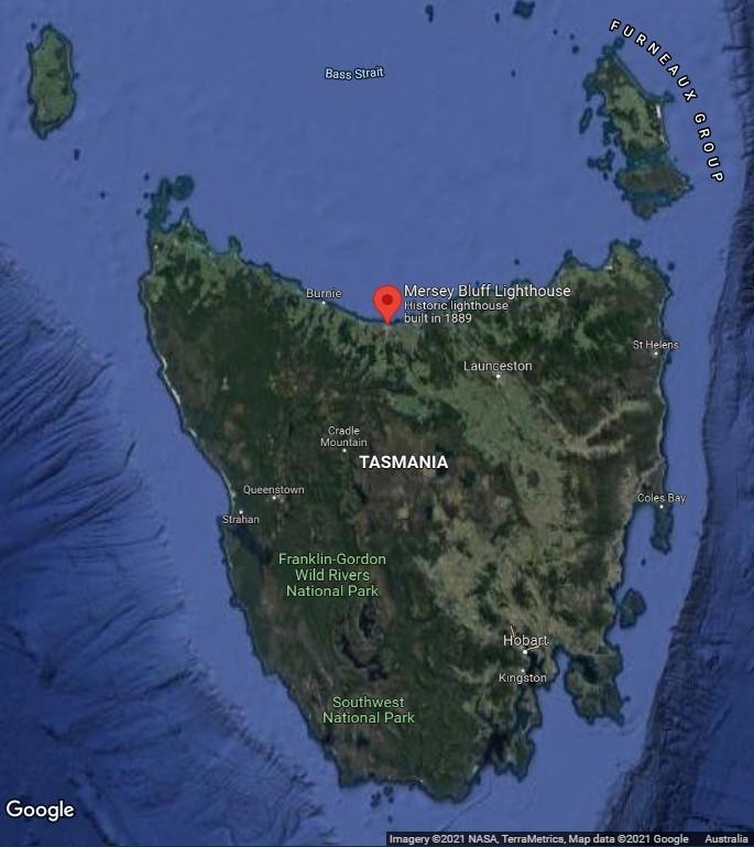 Location of Mersey Bluff Lighthouse within Tasmania (Map data: ©2021 Google, NASA, TerraMetrics)
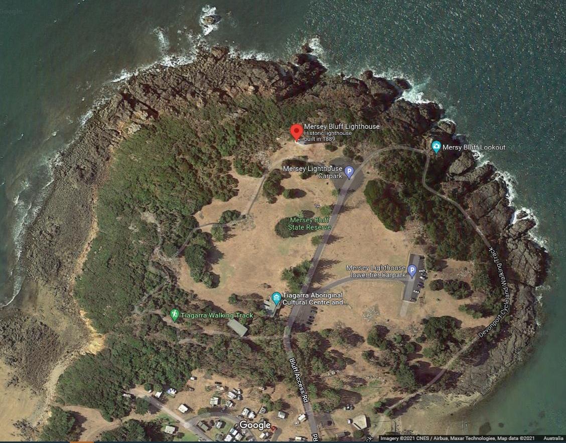 Figure 4. Mersey Bluff, Devonport (©2021 Google, CNES/Airbus, Maxar Technologies)
2.2 Setting and landscape
The lighthouse is situated on Mersey Bluff, a rocky coastal promontory overlooking Bass Strait. The bluff is approximately 1.6 km east of the mouth of Don River and approximately 1.2 km west of the mouth of the Mersey River. It is located within the Mersey River catchment.
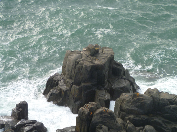 | 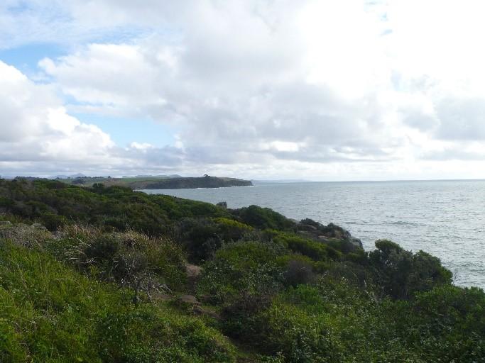 |
Figure 5. Setting and landscape of Mersey Bluff - view from Lighthouse (Source: AMSA, 2013)
Fauna and flora
The endangered central north burrowing crayfish, Engaeus granulatus, is found along the coast of Devonport including Mersey Bluff.
Humpback breeding grounds have been recorded along Tasmania’s north coast within Bass Strait which includes Devonport’s coastline.
2.3 Lease and ownership
AMSA lease the lighthouse and land from the Minister administering the Crowns Lands Act 1976 Tas.
The AMSA lease consists of one parcel of land, Lot 1 CPR 4034, with a total surface area of 200m2 (See Figure 6. for map of lease). The current lease commenced on 1 May 1998 for a period of 25 years, with the option to renew for a further 25 years.
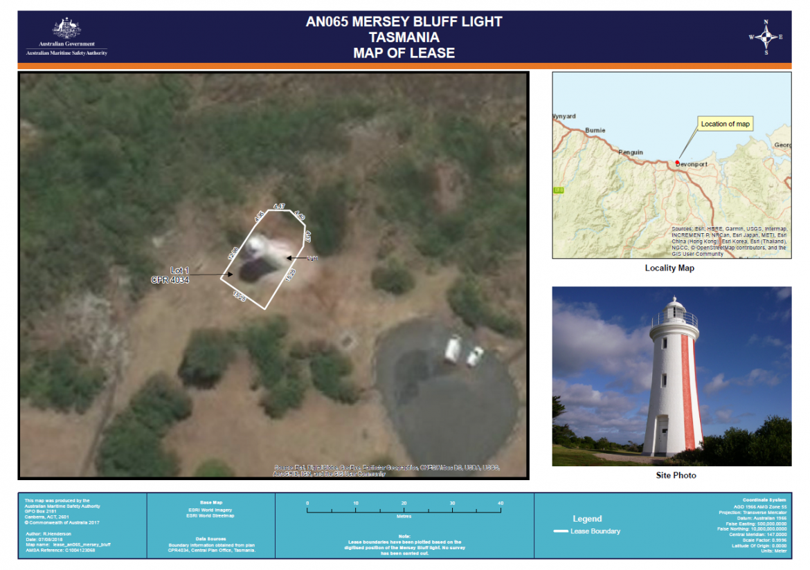 Figure 6. Mersey Bluff Lighthouse Map of AMSA lease, 2018 (Map data: © Esri, DigitalGlobe, GeoEye, Earthstar Geographics, CNES/Airbus DS, USDA, USGS, AeroGRID, IGN, and the GIS User Community)
2.4 Access
Mersey Bluff Lighthouse can be publicly accessed via Bluff Access Road, a sealed vehicle track which terminates as a vehicle parking site and cul-de-sac. The Devonport Cycle and Walking Track also leads to the lighthouse and can be accessed 24/7 by the general public.
All visitors are required to walk the remaining 50m to base of tower. The general public are able to walk around the base of the lighthouse, however access inside the tower is restricted to authorised personnel only.
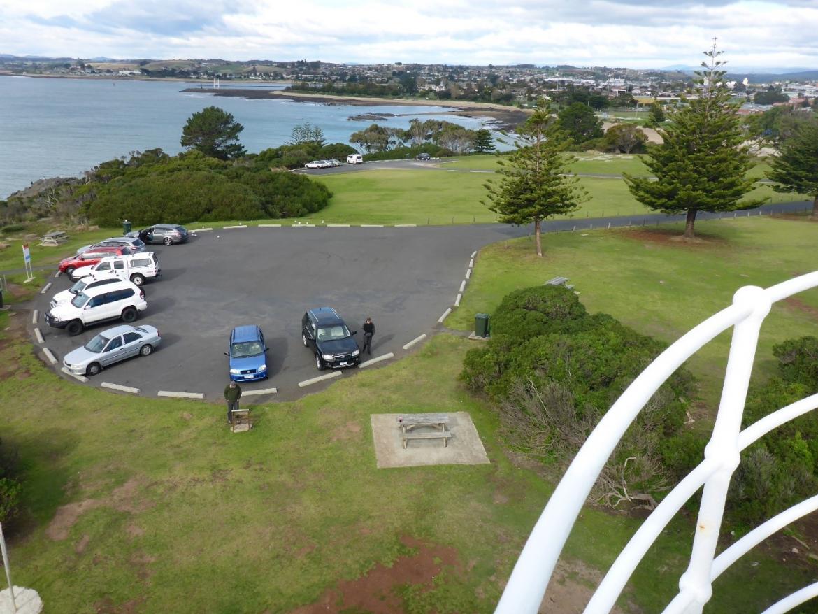 Figure 7. View of access road from lighthouse (Source: AMSA, 2017)
2.5 Listings
Register | Place ID |
Commonwealth Heritage List | 105377 |
TAS State Heritage Register | 1382 |
Register of the National Estate (non-statutory archives) | 12070 |