About the new SBAS
A Satellite-Based Augmentation System (SBAS) is now available in the Australia and New Zealand region.
AMSA has issued a marine notice, providing information on the new system.
The new SBAS is named the Southern Positioning Augmentation Network or SouthPAN.
This is a joint initiative of the Australian and New Zealand governments.
What does SouthPAN do?
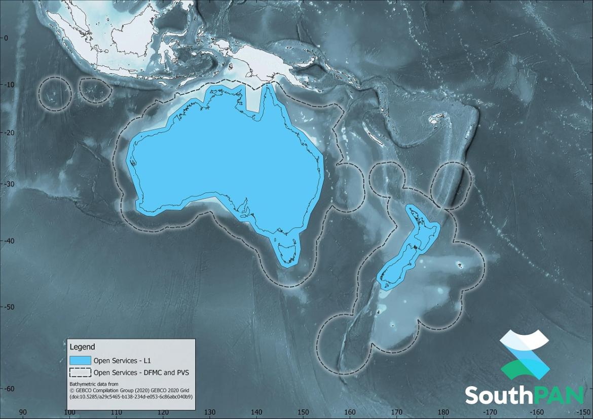
SouthPAN will improve the accuracy, availability and integrity of navigation and positioning for users in the region (see diagram).
For example, the horizontal accuracy provided by SouthPAN is several times better than the current unaugmented Global Navigation Satellite Systems (GNSS) accuracy of about 10 metres.
Early Open Services are now live and free of any user charge.
Australia and New Zealand are working towards a full Open Services capability and International Civil Aviation Organization (ICAO) certified Safety-Of-Life Services by 2028. The latter will primarily be for the aviation sector in the region.
How do I access SouthPAN?
You will need a SBAS-enabled Global Navigation Satellite Systems (GNSS) receiver to use SouthPAN.
You may need to configure your receiver so that it can receive SouthPAN messages. You should check with the receiver’s manufacturer to learn more about its capabilities.
Find out more
- AMSA has published a marine notice on the new SBAS.
- For more information about SouthPAN’s early Open Services, please see the Geoscience Australia website and the SouthPAN fact sheet.
- Note: Click on image to open Marine Notice 01-2023— A Satellite-Based Augmentation System (SBAS) in the Australia and New Zealand region.