2.1 Location
Cape Sorell Lighthouse is located along the western coast of Tasmania at the mouth of Macquarie Harbour. The lighthouse tower sits at the end of an unnamed road approximately 12km south-west of the township of Strahan.
Coordinates: 42º 11.8740’ S, 145º 10.1620’ E
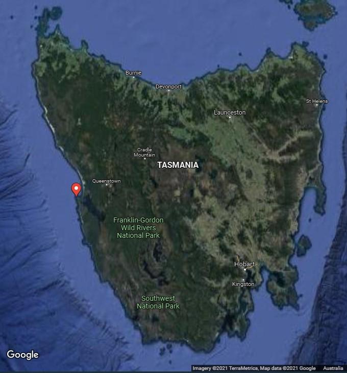 Figure 3. Location of Cape Sorell within Tasmania (Imagery 2021 TerraMetrics, Map data ©2021 Google)
2.1 Setting and landscape
Cape Sorell, framed by a rugged coastline, forms the outermost boundary of Macquarie Harbour. Owing to a lack of protection from the elements, vegetation on Cape Sorell is limited to low shrubs and ground covers. A collection of rocks extend from the cape.
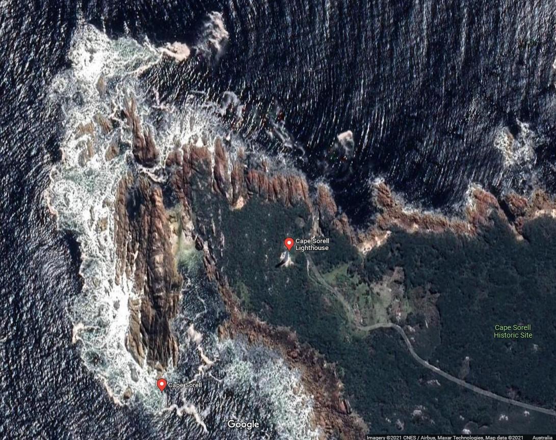 Figure 4. Lighthouse on Cape Sorell (Imagery 2021 CNES Airbus, Maxar Technologies, Map data ©2021 Google)
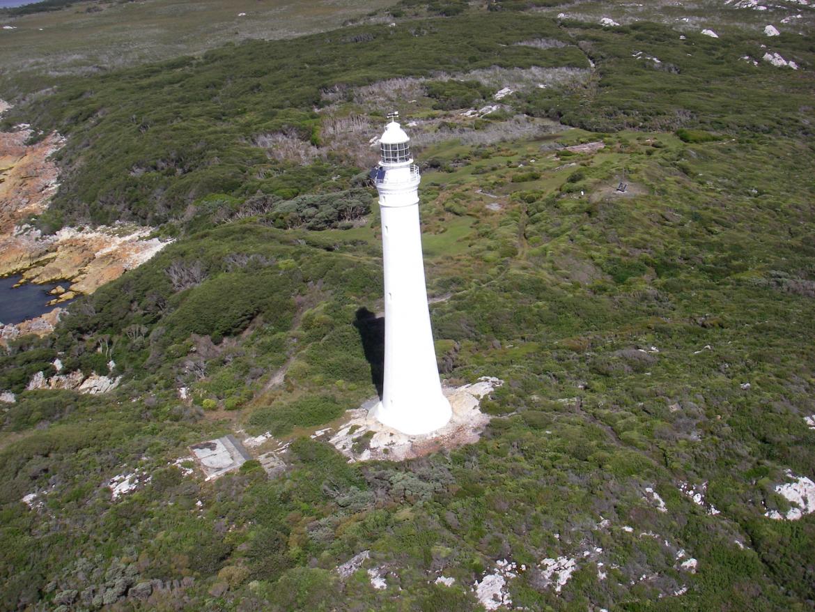 Figure 5. Aerial view of Cape Sorell Lighthouse (© AMSA, 2014)
Fauna and flora
The following vertebrates have been recorded within Macquarie Harbour and along the shores of Cape Sorell:
- Australian salmon
- Atlantic salmon
- cod
- flounder
- trout
- whitespotted dogfish
- barracouta
- morwong
- mullet
- bastard trumpeter
- pink ling
- silver trevally.
An Eudyptula minor (little penguin) colony is found on Bonnet Island at the mouth of Macquarie Habour, and the penguins are known to roam the seas around Cape Sorell most days before returning to the island at dusk.4
Further research on the fauna and flora prevalent on Cape Sorell will be recorded in future versions of this plan.
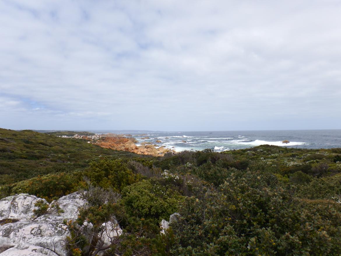 Figure 6. View of Cape Sorell landscape from lighthouse tower (©AMSA, 2014)
2.3 Lease and ownership
AMSA leases the lighthouse and land from the Minister administering the National Parks and Wildlife Act 1976 (Tas).
The AMSA lease consists of two parcels of land. The current lease commenced on 1 May 1998 and there is an option to renew the lease for an additional 25 years.
 Figure 7. Cape Sorell Map of Lease, 2017 (Map data: Esri, DigitalGlobe, GeoEye, Earthstar Geographics, CNES/Airbus DS, USDA, USGS, AeroGRID, IGN, and the GIS User Community)
2.4 Access
Due to its isolated position, vehicular access to the lighthouse is not possible. The station can only be accessed by vessel or by helicopter. Access inside the lighthouse is restricted to authorised personnel only.
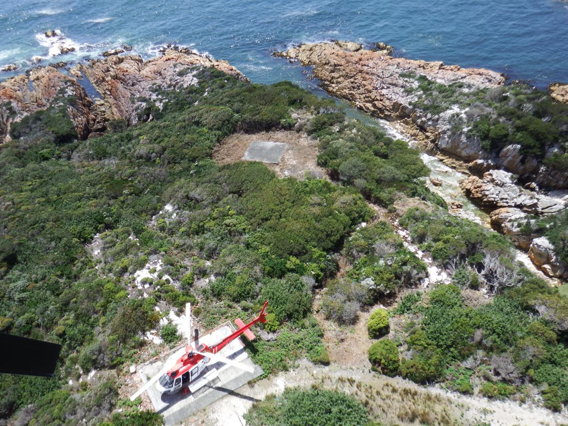 Figure 8. View of helipad from Cape Sorell Lighthouse (©AMSA, 2014)
2.5 Listings
Cape Sorell Lighthouse is included on various heritage registers, which are listed below.
Listing | ID |
Commonwealth Heritage List | 1055975 |
Register of the National Estate | 1035856 |
Tasmanian Heritage Register | 56317 |
_____________________________________________________________________________________________________________________________
Footnotes
7 Tasmanian Heritage Register, Cape Sorell Light Station, Tasmanian Heritage Council, (nd).